
After earlier storms move out, conditions will stay dry and mostly clear this evening, with overnight lows dropping into the upper 40s.
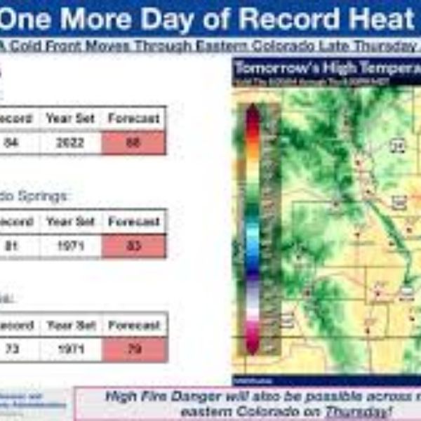
Thursday brings a stretch of pleasant weather, featuring plenty of sunshine and warmer temperatures, with highs reaching the mid-80s.
Clouds will increase Thursday night, and Friday will begin breezy with morning temperatures in the 60s. In Omaha, highs may reach the upper 70s before a cold front arrives around midday, causing temperatures to fall into the 50s and 60s afterward.
As the front moves into southwest Iowa and northwest Missouri early Friday afternoon, it will trigger another round of severe storms. The highest risk will remain south and east of Omaha, with storms expected to move out by around 4 p.m. All types of severe weather are possible.
Friday night will turn windy and cooler, with gusts up to 45 mph. Temperatures will drop into the 30s by Saturday morning, with afternoon highs only in the low 50s.
As winds calm and skies clear Saturday night, patchy frost and freezing conditions are expected, with Sunday morning temperatures ranging from 29 to 33 degrees.
Dry, sunny, and warmer weather returns Sunday and Monday, with highs climbing back into the 60s and 70s. While some rain may return later next week, the overall pattern looks drier over the next seven days.
Wednesday Night
Partly cloudy and cool
Low: 49
Wind: Southwest 5–15 mph
Thursday
Sunny and warmer
High: 85
Wind: South 5–15 mph


Leave a Comment