HASTINGS, Neb. (KSNB) – A stretch of colder temperatures and strong winds returns for a couple of days, though warmer weather will follow soon. Any chances for moisture will likely stay away for several more days.
Friday through Sunday: A powerful cold front will move out of the far southeast portions of the KSNB viewing area (Gage/Pawnee Counties) by late morning. Behind the front, temperatures have dropped while north-northwest winds have strengthened. Readings have fallen into the 30s and 40s and will likely only recover into the 40s and 50s this afternoon.
At the same time, north-northwest winds will generally range from 20 to 35 mph, with gusts reaching 35 to 45 mph. Southeastern areas will see more sunshine, while northwestern locations will deal with more cloud cover. Isolated thunderstorms could develop near the front in the far southeast if conditions come together by late morning, though severe storms will more likely stay southeast of the region.
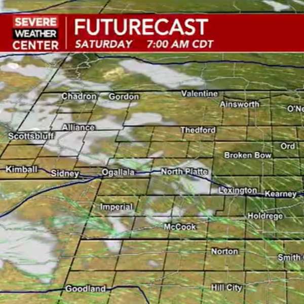
Snow will push from eastern Wyoming into Nebraska’s Panhandle, then transition to rain as temperatures rise. This precipitation will weaken as it moves into central Nebraska, with most rain diminishing near Highway 83 by late afternoon. Skies will clear overnight, and winds will ease, allowing temperatures to drop into the lower 20s in the west and lower 30s in the east.
Northwest winds will strengthen again during the day Saturday. While not as intense as Friday, they could still reach 15 to 25 mph with gusts up to 35 mph. The day will begin sunny before clouds increase in the afternoon, bringing a slight chance of a few sprinkles.
Highs will reach the mid to upper 50s and lower 60s. Saturday night will bring clearing skies and lighter winds, leading to another drop in temperatures into the 20s and lower 30s. Sunday will feature lighter winds and more sunshine as temperatures begin to climb. Highs will range from the lower 60s in the northeast to the upper 70s in the southwest, with overnight lows dipping into the 30s.
Next Week: Conditions will turn quite warm and mostly dry early in the week. Later in the week, chances for rain and thunderstorms will return, along with cooler air heading into the weekend. Details remain uncertain. Expect highs around the 80s on Monday, rising well into the 80s and possibly into the lower 90s on Tuesday and Wednesday. Temperatures will then begin to fall again toward the end of the week.


Leave a Comment