Hail and rain fell in a northeast Lincoln backyard on Thursday, April 23, 2026. (Courtesy of Charlie Brogan for KFOR News)
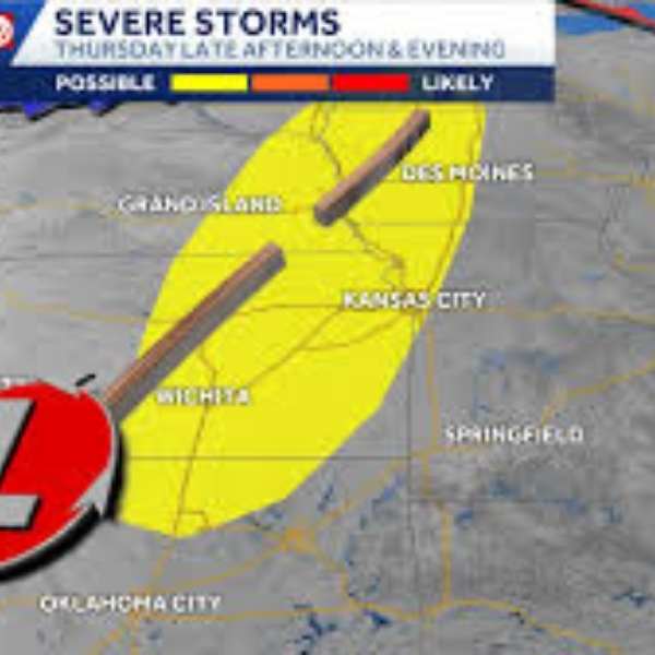
LINCOLN – (KFOR Apr. 23) – Severe thunderstorms carrying hail from quarter-sized to golf ball-sized hit parts of eastern Nebraska Thursday afternoon as a cold front moved through the region.
The National Weather Service issued severe thunderstorm warnings for Lincoln and Lancaster County between 2 p.m. and 3 p.m., all of which were canceled by 3:45 p.m. A tornado watch was in effect starting around noon and was set to expire at 7 p.m. Thursday. A tornado warning was also issued for parts of Jefferson, Gage, and Saline counties, expiring at 3:15 p.m., with no confirmed touchdowns.
A storm that formed near Pleasant Dale in eastern Seward County produced golf ball-sized hail near Southwest 126th Street and West Van Dorn in western Lancaster County around 2:45 p.m. Quarter-sized hail was reported near the Lincoln Airport, while smaller hail fell across parts of northeast Lincoln. In Waverly, quarter-sized hail was reported around 3:15 p.m.
There were no immediate reports of storm damage or injuries.


Leave a Comment