City Plans Traffic Signals Ahead of Opening to Reduce Congestion
A nearby highway interchange already faces heavy congestion, prompting officials to act before the new water park opens next year.
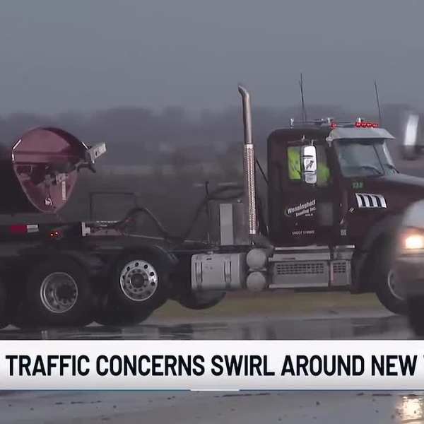
BELLEVUE, Neb. (WOWT) – Bellevue’s upcoming water park is creating excitement, but it’s also raising concerns about traffic.
Mayor Rusty Hike and local residents say vehicles often back up while exiting Highway 75 at the Highway 34 interchange, sometimes pushing traffic onto the interstate.
Because the water park sits just a few hundred yards away, city leaders say they must implement a traffic solution before its planned opening in summer 2027.
As construction progresses, neighbors like Jordan Tometich are eager for the attraction to open.
“I welcome it, um, it’s definitely going to be a fun addition since Omaha doesn’t really have a lot of theme parks or water parks as is,” Tometich said.
Tometich, who has lived in the area for two years, believes one major issue needs fixing before next summer.
“Highway 34 has two lanes going across in each direction to cross that bridge there, and if you’re getting off Highway 75 in either direction to turn onto Highway 34, there’s no stoplight or anything like that,” Tometich said.
Drivers must cross four lanes of traffic after exiting the highway, just a short distance from the future water park site.
“And it gets worse every month basically. Now the traffic is starting to back out onto the interstate because you can’t make that turn without traffic like there,” Hike said.
City officials acknowledge the long-standing issue. Hike and Public Works Director David Goedeken both say changes are necessary.
“The temporary or the interim solution is to put signals on both ramps that will give a break in the traffic so that vehicles can turn,” Goedeken said.
The city plans to install those traffic signals next summer, before the water park opens.
“The ultimate solution, or the years-out solution would be to redesign the configuration of that interchange to make it more efficient for a higher volume of traffic,” Goedeken said.
“You know, once the water park is finished everything should be lighted well and it’ll flow a lot better than it is right now. I’m confident of that and we’re mindful of that, and it’s one of the things that makes your water park successful,” Hike said.
The city aims to address residents’ concerns and prevent potential accidents well in advance.
Goedeken added that he does not expect major disruptions for drivers during the installation of the two traffic signals, since most of the work will take place along the roadside.


Leave a Comment