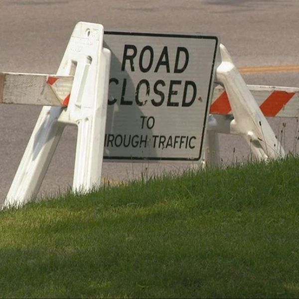
CINCINNATI — With Reds Opening Day less than a week away, the City of Cincinnati has announced road closures ahead of Thursday’s festivities.
The Cincinnati Reds will face the Boston Red Sox at Great American Ball Park, but events begin earlier with the annual Findlay Market Opening Day Parade at noon.
Officials urge residents to review traffic changes before making plans.
The following streets will close at 8 a.m. Thursday:
Race Street between Liberty Street and McMicken Street
Elm Street between Liberty Street and McMicken Street
Findlay Street between Central Parkway and Vine Street
Elder Street between Central Parkway and Vine Street
Green Street between Vine Street and Logan Street
Henry Street between Race Street and Dunlap Street
Dunlap Street between Findlay Street and McMicken Street
Logan Street between Liberty Street and Findlay Street
The parade begins at Race Street and Liberty Street, travels south on Race Street to Fifth Street, then heads east on Fifth Street to Sentinel Street.
The following parade route streets and cross streets will close starting at 11:15 a.m.:
Liberty Street between Vine Street and Central Parkway
Central Parkway between Vine Street and Elm Street
Race Street between Liberty Street and Fourth Street
Fifth Street between Central Avenue and Sentinel Street
Fifteenth Street between Republic Street and Elm Street
Fourteenth Street between Elm Street and Republic Street
Thirteenth Street between Race Street and Vine Street
Twelfth Street between Elm Street and Vine Street
Court Street between Elm Street and Vine Street
Ninth Street between Elm Street and Vine Street
Eighth Street between Elm Street and Vine Street
Seventh Street between Elm Street and Vine Street
Sixth Street between Elm Street and Vine Street
Vine Street between Fourth Street and Sixth Street
Walnut Street between Fourth Street and Sixth Street
Main Street between Fourth Street and Sixth Street
Sycamore Street between Fourth Street and Sixth Street
Broadway Street between Fourth Street and Sixth Street
Downtown hotels will remain accessible within the parade route, but parking in closed areas will be restricted. Drivers are advised to follow posted restrictions and move vehicles to avoid towing.
Streets will reopen once it is safe after the parade passes.
Metro bus service will continue, though some downtown stops may be affected. Streetcar service will begin only after the parade ends.
The Reds Community Fund Block Party will also take place during Opening Day.
The following streets will close at 6 p.m. on March 25 and reopen after the game:
Freedom Way between Rosa Parks Street and Joe Nuxhall Way
Marian Spencer Way between Second Street and Ted Berry Way (local garage access maintained)
Joe Nuxhall Way south of Second Street (hotel and handicap access maintained from Mehring Way)
The city also shared recommended routes for those driving to the downtown riverfront:
From I-75 southbound, use the Freeman Avenue exit to Mehring Way
From I-75 northbound, take the Fifth Street exit, then turn right onto Central Avenue
From I-71 southbound, use the Reading Road exit to Eggleston Avenue
From I-471 or Columbia Parkway, take the Third Street exit
Officials encourage attendees to plan ahead and allow extra travel time for Opening Day events.


Leave a Comment