Showers and thunderstorms are expected to develop, with hail and strong winds as the primary threats.
A few severe storms possible Thursday
LINCOLN, Neb. (KOLN) – A cold front moving across the state will stall along the Kansas-Nebraska border tonight, creating conditions for showers, thunderstorms, and possible severe weather into Thursday evening.
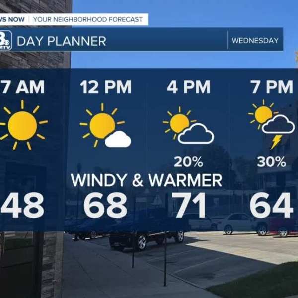
Winds are expected to ease through Wednesday, though a low-end chance for spotty showers and isolated thunderstorms will continue into late Wednesday night, mainly across eastern and southeastern parts of the state.
Thursday’s severe weather window
Thursday morning into early afternoon may bring scattered showers along the stalled front. As upper-level support moves in, additional storms are expected to develop while the front shifts slightly northward.
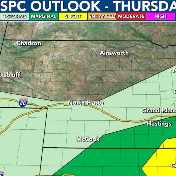
The primary window for severe weather is Thursday afternoon into the evening and will depend on where the front ultimately settles. If it shifts farther north, areas like Lincoln could see a higher severe weather risk. If it remains farther south, the threat in Lincoln would decrease.
Earlier-day storm activity may also affect the severity of later storms. If the atmosphere does not have enough time to recharge, the overall severe potential could be limited.
Main threats: hail and wind, low tornado risk
All types of severe weather are possible Thursday, but hail and strong winds are expected to be the main hazards. There is also a low-end risk of isolated tornadoes, particularly in southeastern Nebraska.
The Storm Prediction Center has placed areas along and south of the front under a Slight Risk (level 2 of 5), with a Marginal Risk extending farther north and west.
After the main wave of storms moves southeast, some lingering thunderstorms may continue into early Friday morning.
Cooler Thursday, drier Friday
Temperatures will cool on Thursday, with highs ranging from the 50s to 70s, with warmer conditions farther south.
Friday is expected to be the coolest day of the week, with highs in the upper 50s to low 60s and mostly cloudy skies. Any leftover showers early in the day should give way to generally drier conditions, though a few isolated showers cannot be ruled out.
Active pattern continues into next week
Unsettled weather will persist beyond Friday. A developing weather system over the western U.S. will bring continued chances for showers and thunderstorms through the weekend and into early next week.
Temperatures will rise into the 70s on Saturday and into the upper 70s to mid-80s on Sunday, peaking in the mid-80s Monday before another system brings renewed storm chances.
Daily opportunities for showers and thunderstorms are expected over the next 7 to 10 days, though widespread heavy rainfall is not anticipated. Rain totals are expected to remain relatively light, with only modest accumulations in most areas.
Forecasters are also monitoring the potential for additional strong to severe storms early next week as another system approaches.


Leave a Comment