
A major shift in U.S. weather patterns is set to unfold in early April, as the persistent heat dome that has dominated the West begins pushing eastward. Forecasters describe this transition as a significant change, with impacts expected across much of the country.
For weeks, a powerful high-pressure system has trapped heat near the surface, driving unusually high temperatures across the western United States. Now, that system is shifting east, reshaping temperature patterns and bringing new weather risks to millions of Americans.
Heat Shifts East, Bringing Warmth and Storms
As the heat dome shifts eastward, temperatures across the central, eastern, and southeastern regions are expected to climb sharply. According to AccuWeather, parts of the Southeast could see several days with highs in the 80s—marking a significant jump from typical early spring temperatures, which usually sit between the 60s and low 70s.
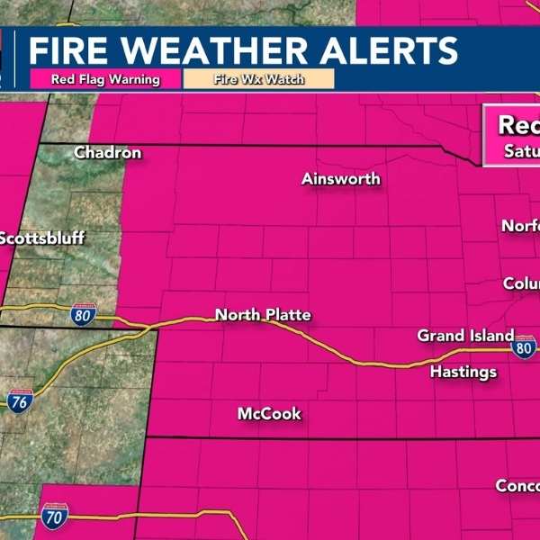
This wave of warmth will arrive alongside additional weather changes. According to The Weather Channel, the advancing pattern is expected to spark thunderstorms and bouts of heavy rainfall as a cold front sweeps through the central and eastern United States. The mix of rising heat and atmospheric instability could heighten the risk of unsettled conditions across multiple regions.
Some regions may see benefits from this shift. According to USA Today, rainfall linked to the system could ease drought conditions in parts of the mid-South and Tennessee Valley. However, localized flooding remains a concern depending on storm strength and timing, underscoring the uneven effects of the evolving pattern.
Meteorologists view this transition as part of a larger reshaping of the nation’s weather pattern. The eastward movement of the heat dome signals more than a regional change—it reflects a broader redistribution of temperature extremes across the country.
Western Cooldown Brings Long-Awaited Relief
As temperatures rise in the East, the western United States is set to see a noticeable cooldown. According to USA Today, a series of Pacific storm systems will push inland, bringing cooler air along with rain, mountain snow, and gusty winds across California, the Intermountain West, and the Rockies.
This shift comes after weeks of persistent heat that drove temperatures well above seasonal norms. The incoming storms are expected to disrupt that pattern, though precipitation totals may stay limited in some drought-affected areas.
According to the National Weather Prediction Center, the early April outlook for the West remains unsettled, with several rounds of cooler conditions likely. Even modest rainfall and snowfall could help reduce ongoing dryness, providing some relief after an unusually hot and dry March.
An atmospheric river is also expected to move through California in the coming days. Forecast models indicate it will stay relatively weak, lowering the risk of widespread flooding while still delivering much-needed moisture to parts of the state.


Leave a Comment